
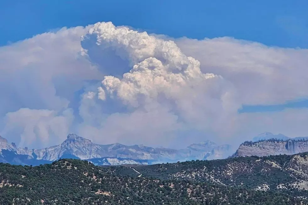
This Is Week Four of the Colorado Elk Fire: Here’s The Latest
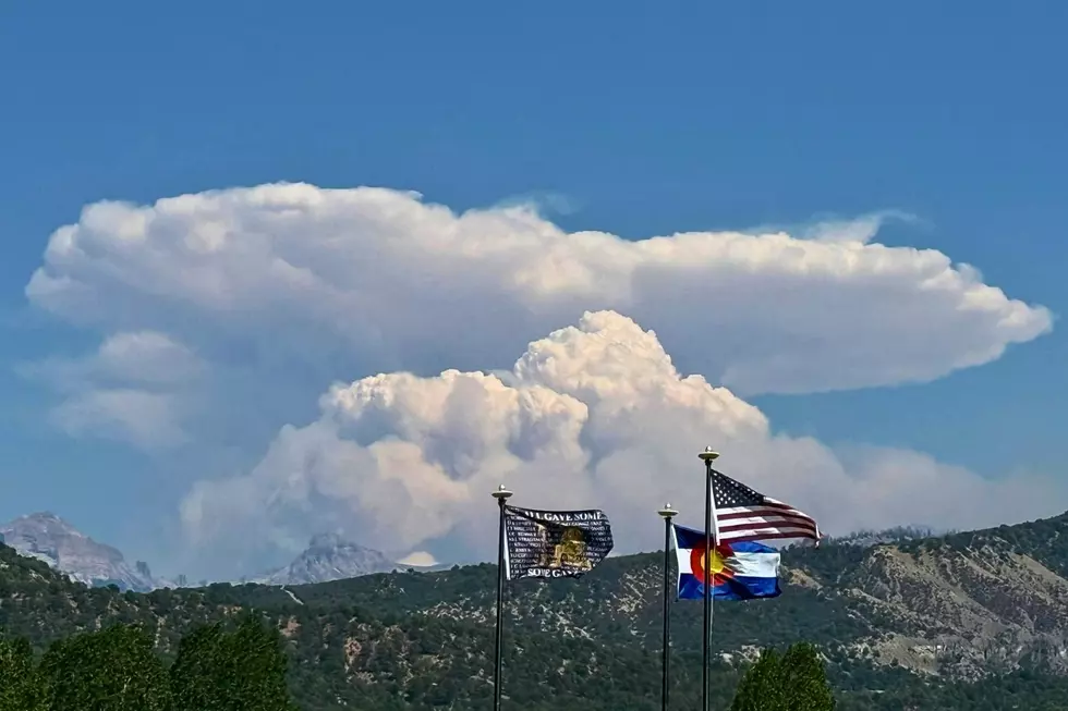
With all the smoke coming from Hinsdale County over the weekend, lots of eyes are back on Colorado’s Elk Fire. Sparked by lightning on July 9, the fire has burned more than 7,200 acres and is 33% contained as of the morning of August 10.
The Elk Fire is another example of how a wildfire can remain active and become more complicated even several weeks after it first made headlines. Check out 25 photos from along the front lines of the Elk Fire, then keep scrolling for the incident update.
PHOTOS: The Elk Fire Update Western Colorado Needs to See
Gallery Credit: Wesley Adams
What's the Latest on Colorado's Elk Fire?
Read More: One Colorado City is the Most Remote in the Lower United States
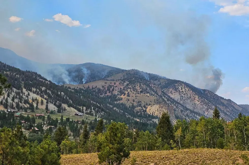
As of Aug. 10, the Elk Fire is still burning in northern Hinsdale County, roughly seven miles northwest of Lake City. A mandatory evacuation order has been issued for the San Juan Springs subdivision, while much of Lake City and the surrounding areas are under pre-evacuation alerts. The latest Elk Fire Evacuation Zone Changes from Hinsdale County can be found here.
The fire is burning in rugged terrain west of Highway 149, north of Lake City, where difficult access has limited direct ground firefighting operations, prolonging this fire. The most recent public information maps of Elk Fire can be found here.
Elk Fire Evacuation Zones and Closures Near Lake City
Read More: Lake City, Colorado Elk Rescued from Climbing Rope
Hinsdale County has issued mandatory and voluntary evacuations for multiple zones around Lake City and the Elk Fire. See the Hinsdale County evacuation zones here.
There are lands and roads in the Gunnison Ranger District and the Uncompahgre National Forest that are closed due to the Elk Fire. View the Elk Wildfire Area Closure Order here. See a map of the closure here. Elk Fire Information: 970-299-5357
MORE: The Story Behind Colorado's Beautiful Million Dollar Highway
Gallery Credit: Wesley Adams
Colorado's Rattlesnake Hotspots: 10 Places to Watch Your Step
Gallery Credit: Wesley Adams