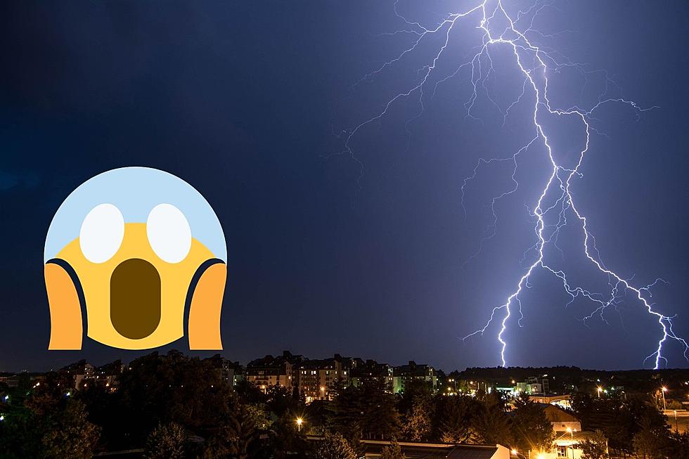
Flash Floods, Isolated Tornados Possible in Northern Colorado Thursday
Severe weather is expected Thursday afternoon from the Cameron Peak Fire burn area to the Front Range, the National Weather Service in Boulder reports.
According to the National Weather Service's Twitter, beginning at 11 a.m., strong storms in the Cameron Peak area will cause an elevated flash flood risk. We are advised to stay away from these areas today, especially in steep canyons. The National Weather Service said that it's possible these storms could produce wind gusts up to 50 miles per hour.
On July 20, flash flooding and mudslides in the Poudre Canyon destroyed several structures, and resulted in multiple fatalities. Flash flooding has been a heightened concern in Colorado this summer, due to extreme wildfire damage from last year's Cameron Peak Fire and the Grizzly Creek Fire; the latter closing I-70 in Glenwood Springs much of this summer.
'Wildfires burn away the vegetation of an area, leaving behind bare ground that tends to repel water,' the National Weather Service says. 'When rain falls, it runs off a burn scar towards a low lying area, sometimes carrying branches, soil and other debris along with it. Without vegetation to hold the soil in place, flooding can produce mud and debris flows.'
On the Front Range, the National Weather Service also warns of the possibility of severe weather, with 'large hail, damaging winds and an isolated tornado or two.' Hail could reach golf ball size in some parts of the state with the possibility of winds up to 60 miles per hour.
2020 Cameron Peak Fire
More From Townsquare Fort Collins